Munros Tables SMC Cairngorms, Lochnagar, Mounth - SMC

 The Scottish Highlands


Cairngorms
The High Mountains of Britain & Ireland The Cairngorms

Photographs of Beinn a Bhuird and Ben Avon

 above Glen Quoich in the Cairngorms

Beinn a Bhuird from Glen Quoich

Beinn a Bhuird from Glen Quoich


Approach to Beinn a Bhuird

Approach to Beinn a Bhuird


Approach to Beinn a Bhuird

Approach to Beinn a Bhuird


Beinn a Bhuird

Beinn a Bhuird


Approach to Beinn a Bhuird

Approach to Beinn a Bhuird


Beinn a Bhuird

Beinn a Bhuird


Beinn a Bhuird

Beinn a Bhuird


Beinn a Bhuird

Beinn a Bhuird


Beinn a Bhuird

Beinn a Bhuird


Dubh Lochan beneath Beinn a Bhuird

Dubh Lochan beneath Beinn a Bhuird


Dubh Lochan beneath Beinn a Bhuird

Dubh Lochan beneath Beinn a Bhuird


Cairngorms from Beinn a Bhuird

Cairngorms from Beinn a Bhuird

Munros on Skis


Cairngorms from Beinn a Bhuird

Cairngorms from Beinn a Bhuird


Corries on Beinn a Bhuird

Corries on Beinn a Bhuird


Corries on Beinn a Bhuird

Corries on Beinn a Bhuird


Beinn a Bhuird from Ben Avon

Beinn a Bhuird from Ben Avon


Tors on Ben Avon

Tors on Ben Avon


Tors on Ben Avon

Tors on Ben Avon


Pine forest in Glen Quoich

Pine forest in Glen Quoich


Quoich Water.

Quoich Water.


Linn of Dee on approach road from Braemar.

Linn of Dee on approach road from Braemar.


River Dee near Braemar.

Linn of Dee on approach road from Braemar.


Approach to Beinn a Bhuird

Approach to Beinn a Bhuird


Braemar

The usual approach to Beinn a Bhuird

 is through Braemar.


Map of Beinn a Bhuird

Map of Beinn a Bhuird


On circuit of An Sgarsoch and Carn an Fhidhleir

On circuit of  An Sgarsoch

 and Carn an Fhidhleir

Munros by Bike

 :: Munros on Skis


An SGARSOCH & CARN an FHIDHLEIR - ROUTE DESCRIPTION:

Location: An Sgarsoch, Perthshire / Aberdeenshire
Long Grade: Long and remote mountain walk
Distance: 23 miles, 39km
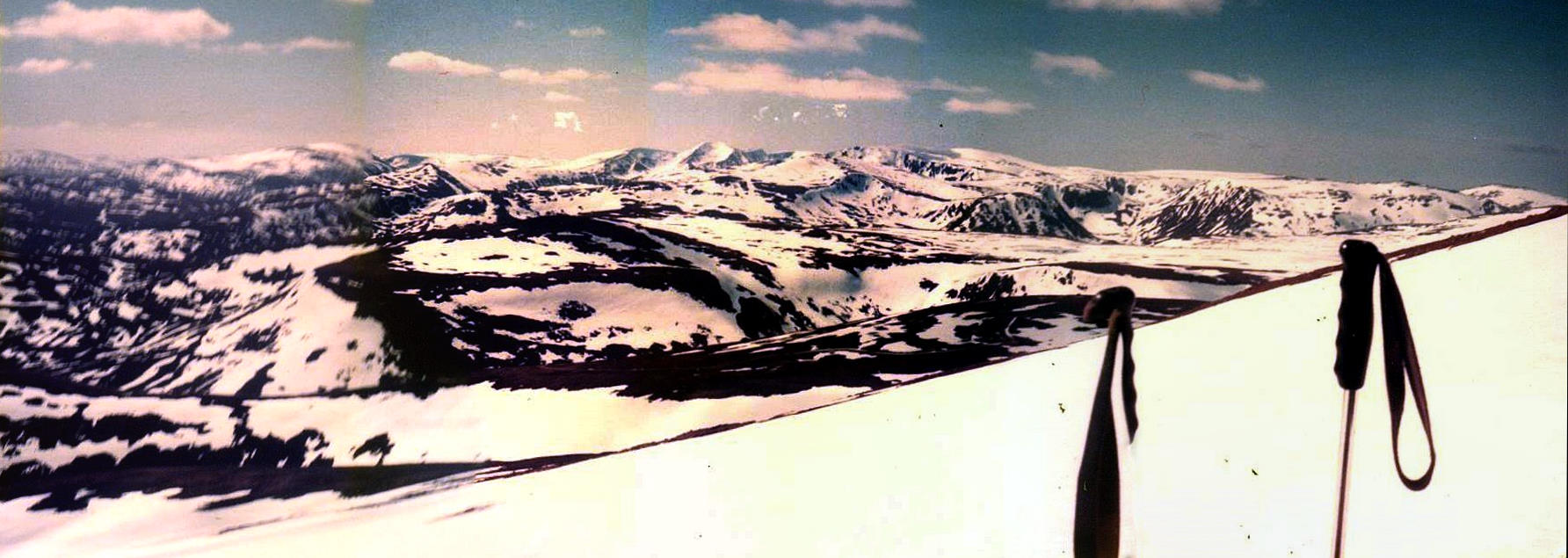
Time: 10-12 hours

One for the summer - and the very fit. Across 
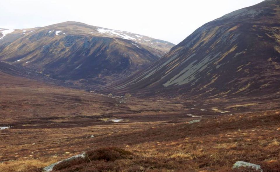
the Cairngorms and across the broad plain-of-a-glen that is Glen Geldie lie two remote and seldom visited mountains, An Sgarsoch and Carn an Fhidhleir. Rising from the headwaters of the Geldie Burn, the River Feshie and the Tarf Water, these huge heather-covered domes form the northern edges of the vast peaty desert of Atholl, a magnificently wild area that is best appreciated by tackling the marathon trek round the Ring of Tarf, a long expedition that links up the four Munros of Beinn Dearg, Carn a’ Chlamain, An Sgarsoch and Carn an Fhiclhleir.
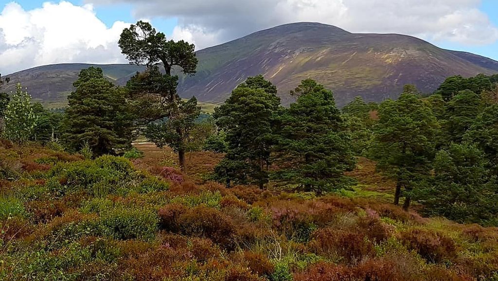
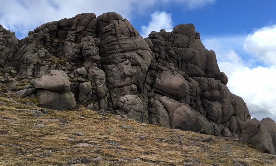
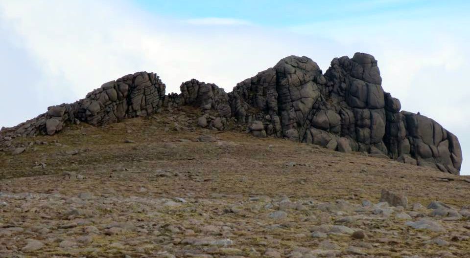
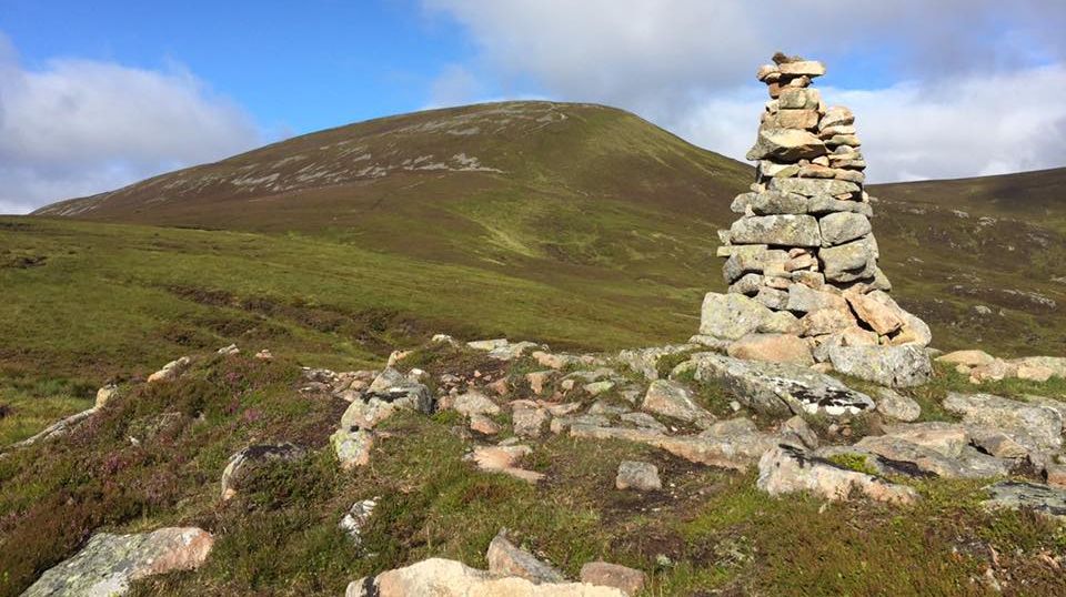
The latter two are not particularly grand hills, as big hills go, but their relative inaccessibility adds to their attraction, with only long treks yielding them up to Munro-baggers. A lengthy pull up Glen Tilt from Blair Atholl gives what is possibly the most scenic route, while a shorter route runs in from Braemar via the White Bridge and Geldie, a route that can be made significantly easier by using a bicycle. This is the route described in the accompanying summary.
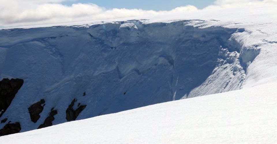
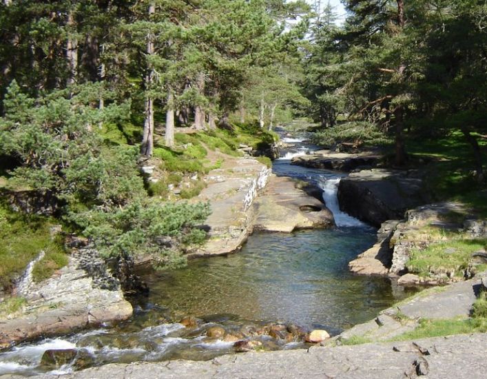
Tumultuous is a fair description of the Feshie in spate, and where it fights and wrestles through pine-clad gorges. The rough footpath passes dangerously close to the edge of some of these gorges and a slip on the muddy trail could well mean a headlong plunge into the boiling waters below.
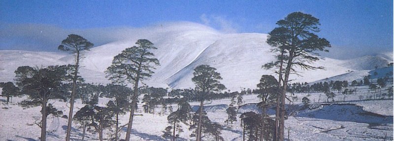
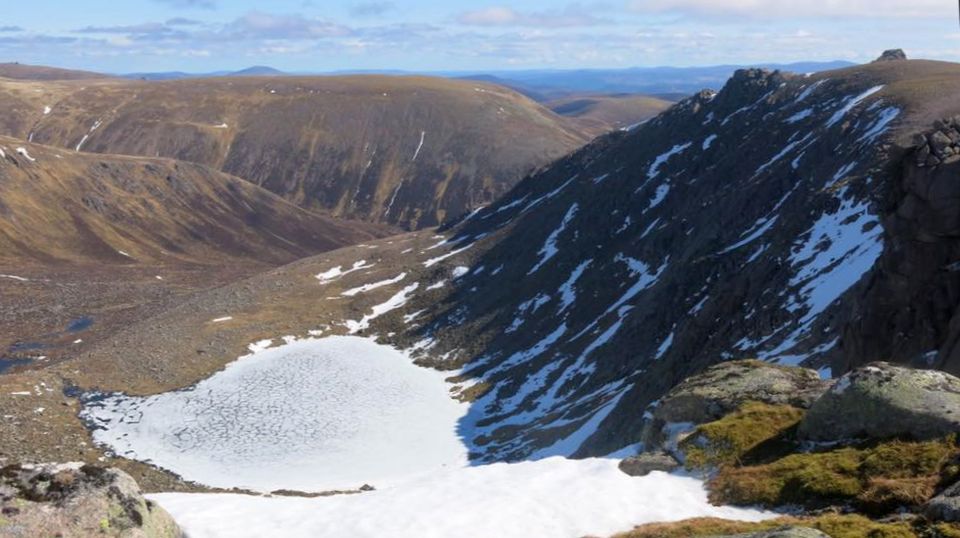
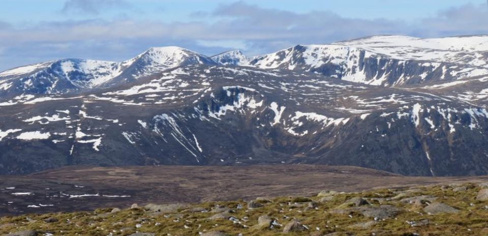
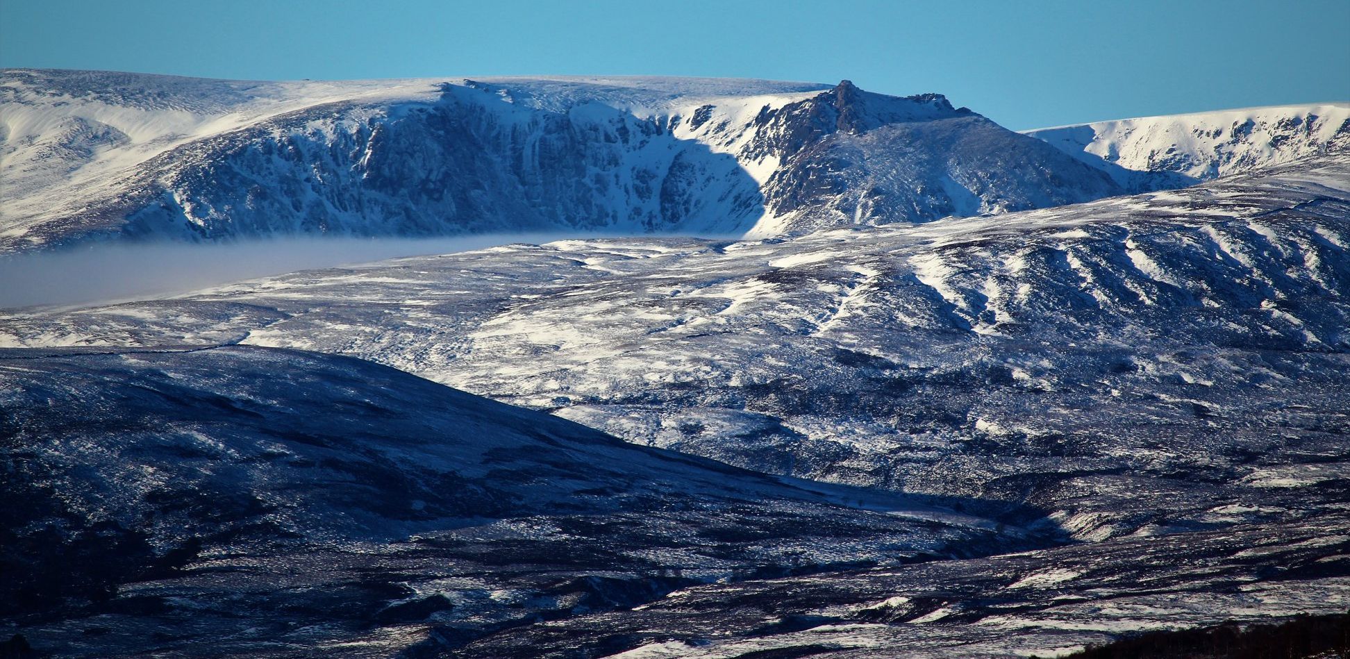
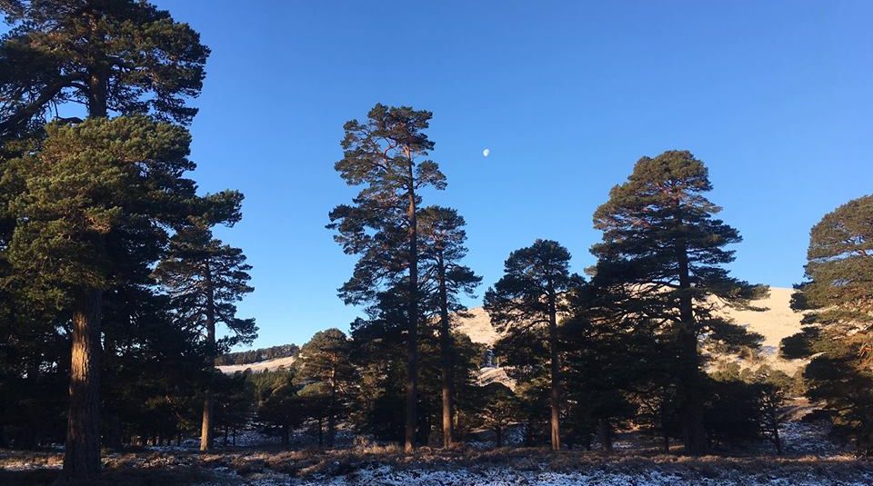
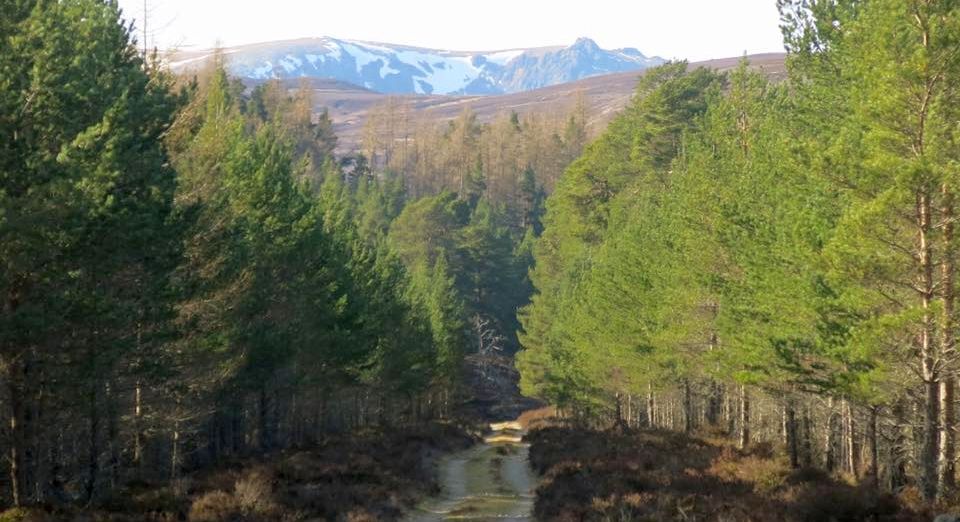
The desolate hills and moors of Atholl with Beinnn a’ Ghlo and its outliers stand clear. Northwards, the high tops of the Cairngorms stretch out with the long, bare slopes of the Moine Mor leading up to Braeriach and Beinn Bhrotain, with Ben Macdui appearing between them.
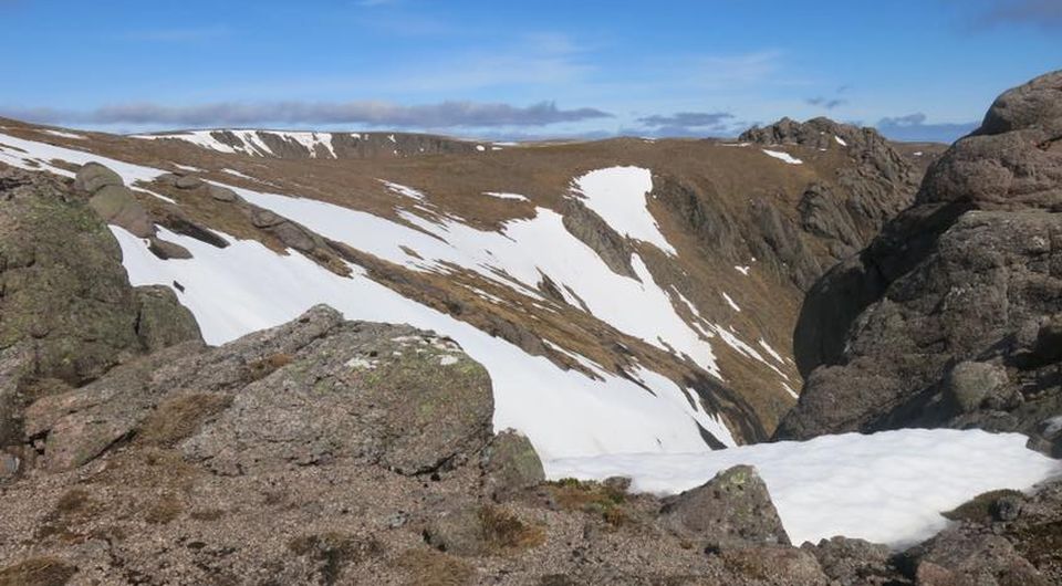
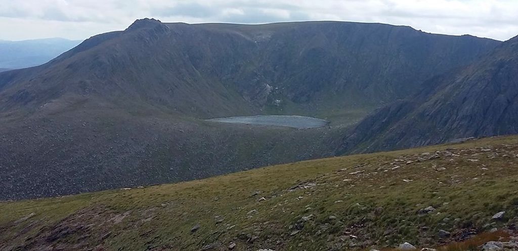
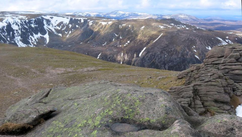
It is an easy descent over short grass and mossy slopes to reach the 
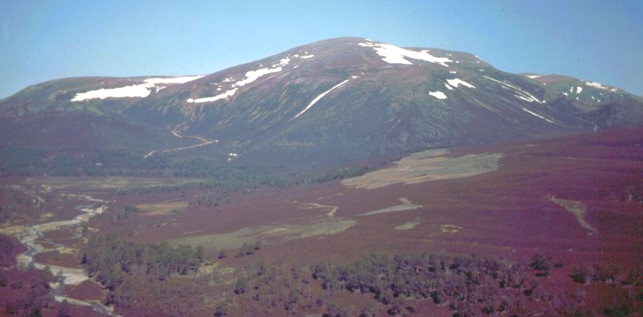
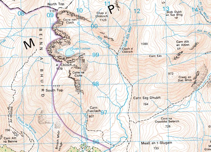
high col that connects with An Sgarsoch. This big hill lies half in Aberdeenshire and half in Perth, although Carn an Fhidhleir goes one better. It has a third of its great humped mass in Inverness-shire too, in the meeting of the three counties if you like. But An Sgarsoch's chief claim to fame is as an ancient meeting place where the locals sold cattle and horses on the flat summit, an event known as the Feill Sgarsaich and the highest marketplace in the land. Why they chose the summit of a 3000ft mountain for a market, nobody seems to know - another of those quirky 
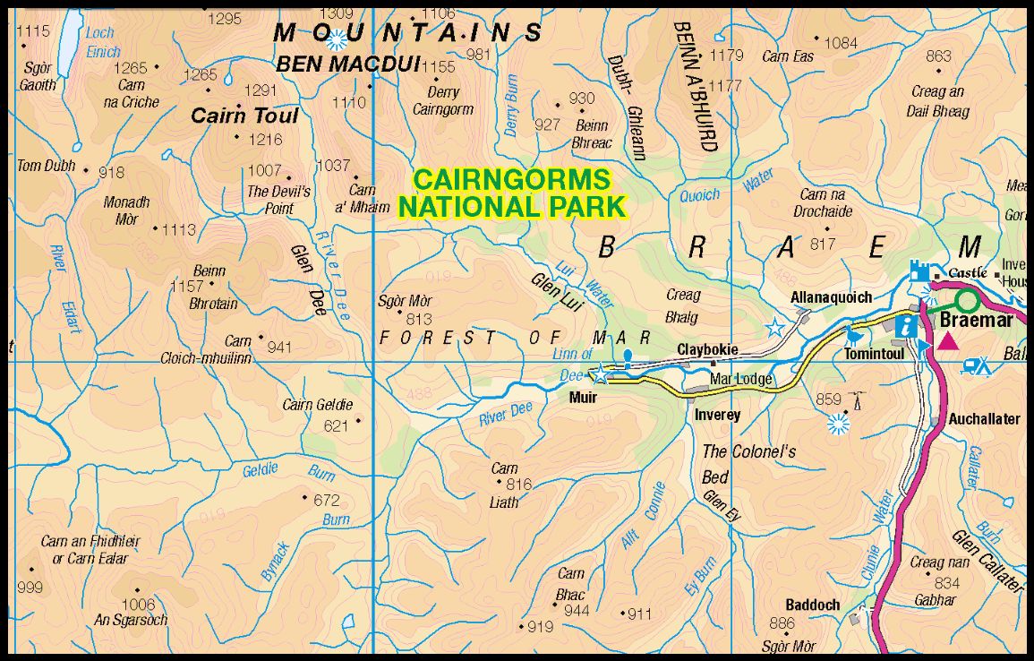
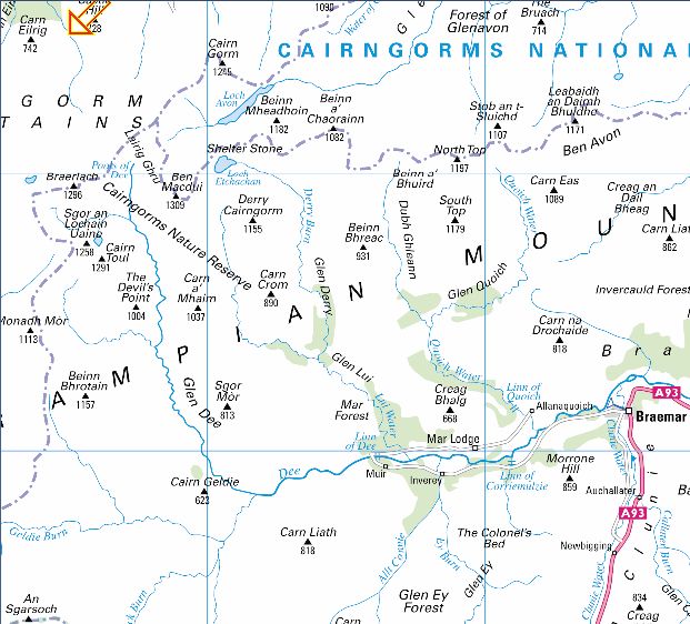
antiquarian facts whose origin has been lost to time.

ROUTE PLANNER

Map: OS 1:50,000 Landranger sheet 43 ( Braemar & Blair Alholl )
Distance: About 23 miles / 39km
Approx time: 10-12 hours
$tart / Finish: Linn of Dee car park,  10km west of Braemar ( GR: NO064897 )
Information: Braemar TIC

Route:
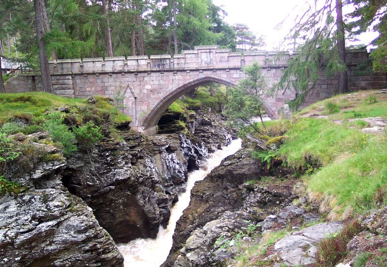
Follow the N bank of the River Dee for 5km to White Bridge.
Cross the bridge and follow the track S tor 1.5km before turning right into Glen Geldle.
Follow the track on the N bank of the Geldie Bum then cross the river to the mined Geldie Lodge.
Follow a bulldozed track WSW to its highest point from where you can reach the NE slopes of Carn an Fhidhleir.
Climb to the summit.
Descend SSE along a broad ridge and then down the E side of the ridge to reach the col at 700m.
Climb to the flat summit of An Sgarsoch.
Retum to Geldie Lodge over Sgarsoch Bheag and the earlier bulldozed track.
A bicycle can be ridden as far as the crossing of the Geldie Burn, saving a considerable amount of time.


Map of An Sgarsoch

Map of An Sgarsoch


An Socach

An Socach


Map of An Socach

Map of An Socach


Map of the Cairngorms

Map of the Cairngorms


<< Back : Eastern Highlands : Next >>


Scottish Peaks : Scotland Index : Scotland Walks

Knoydart :: Glencoe :: Ben Nevis:: Isle of Skye :: Isle of Arran

NW Highlands :: Southern Highlands :: Central Highlands


Worldwide Mountaineering :: Adventure Travel :: Site Index

fb icon  google+ icon Linkedin icon  twitter


Books & Maps - Scotland:-


Arrochar Alps - Map Glasgow Popular Hills - Map West Highland Way - Map Loch Lomond North - Tyndrum, Crianlarich, Arrochar - OS Explorer Map Loch Lomond and Inverary OS Landranger Map

Isle of Arran OS Explorer Map Isle of Arran OS Landranger Map Arran - Official Tourist MapIona & Mull MapWestern Scotland & the Western Isles OS Road Map Northern Scotland OS Road Map Southern Scotland OS Road Map


The High Mountains of Britain & Ireland  Munros Tables SMC  The Munros - Scotland's Highest Mountains  Scotland - Lonely Planet  NW Highlands - SMC Guide  Exploring the Far NW of Scotland  Guide to Walks in NW Highlands

Walking in Scotland - Lonely Planet Mountain: Exploring Britain's High Places  National 3 Peaks Walk Scottish Highlands Hillwalking Guide The Scottish Islands Bouldering in Scotland

Central Highlands: Six Long Distance Walks West Highland Way: Official GuideWest Highland Way: Rucksac Readers West Highland Way: TrailblazerThe West Highland WayWest Highland Way: Footprint MapWest Highland Way - Map West Highland Way - Map 100 Hillwalks around Glasgow

Pathfinder Guide: Fort William and Glen Coe Walks Rambler's Guide: Ben Nevis and Glen CoeGlencoe Rock & Ice Climbing The Munros: Scottish Mountaineering Club The Munros and Tops The Corbetts - SMC Munros & Corbetts Chart The High Mountains of Britain and Ireland Munro Almanac

The Munros - Scotland's highest mountains Call of the Corbetts Magic of the Munros Hamish's Mountain WalkThe Munros in Winter My Scotland by Hamish MacInnes

Scottish Mountains - 50 Classic Routes50 More Routes on Scottish Mountains The High Mountains of Britain and Ireland Scotlands 100 Best Walks Scottish Mountains - 100 Best RoutesBig Walks of Great Britain Classic Walks in Britain & Ireland

Scottish Hill & Mountain Names Classic Mountain Scrambles in Scotland Classic Climbs - Central & Southern Highlands Mountaineering in Scotland and Undiscovered Scotland by W.H.MurrayMore Wilderness Walks Wilderness Walks Wilderness Walks 2 - Video Ski Mountaineering in Scotland

Ski Touring in ScotlandScrambles in Lochaber Rock Climbing in Scotland Rock Climbing SkillsThe FACE: Six Great Climbing Adventures Ben Nevis: Rock & Ice ClimbsGreat Snow & Ice Climbs of the British Isles100 Best Routes on Scottish Mountains One Man's Mountains - Tom Patey

A Mountaineer's Tale - W.H.Murray Dougal Haston: Philosophy of RiskThe Glens of Rannoch Southern Highlands - MapNorthern Highlands Central Highlands West Highlands Central Highlands SMCNW Highlands SMC

Scotland - Lonely PlanetScotland's Highlands & Islands - Lonley Planet Scotland's Highlands & Islands - Rough Guide Highlands & Islands of Scotland - Hidden Places Rough Guide Scotland Scottish Highlands & Islands - Rough Guide Rough Guide: Scotland Lonely Planet, Walking in ScotlandLonely Planet - Walking in Britain

50 Walks in the Scottish Highlands & Islands 100 Walks in ScotlandVisit Scotland - Touring Guide Scotland: Where to Stay - Hotels & Guest Houses Scotland: Where to Stay - Bed & Breakfast Hillwalker: The MunrosHillwalker: The Corbetts

Weather for Hillwakers & Climbers Mountain Weather Guide to the Weather Weather: Collins Gem Hillwalking Handbook for Mountain Leaders Hillwalkers Manual Hillwalkers Guide to Mountaineering First Aid on Mountains


Google Analytics


Google Analytics

extremetracking
 eXTReMe Tracker


extremetracking
Sitelock caingram.com
SiteLock
Sitelock
Sitelock caingram.info
SiteLock
Sitelock