|
West Highland WayBeinglas
|
  |
|
West Highland WayBeinglas
|
|
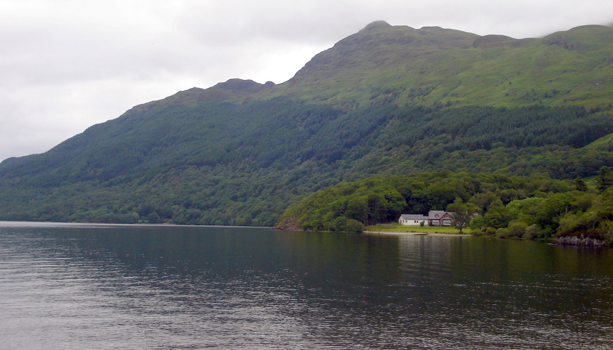
Photographs
of the West Highland Way
between Rowerdennan and Beinglas
on the eastern bank of Loch Lomond.
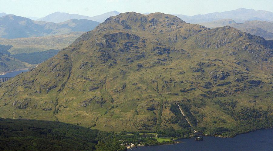
 Ptarmigan
- a sub-peak of Ben
Lomond
- from Rowerdennan on Loch Lomond |
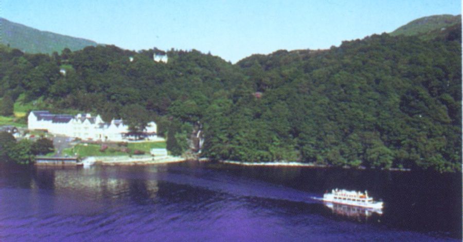
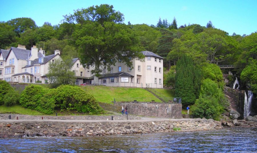 Inversnaid
Hotel on Loch Lomond
|
 |
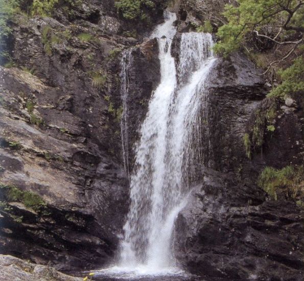 Waterfalls
at Inversnaid Hotel
|
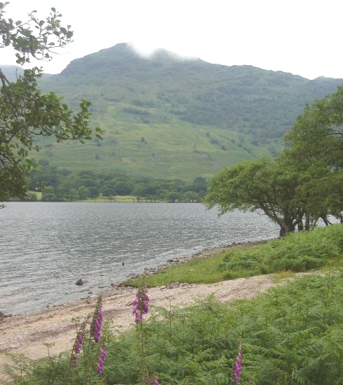
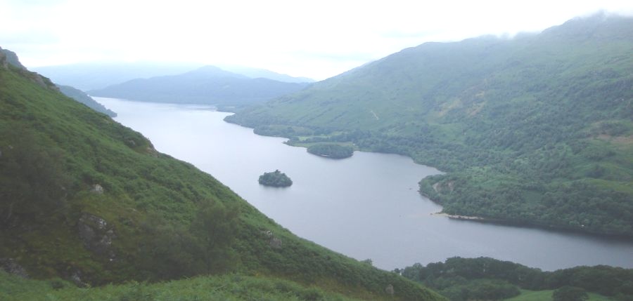 Loch Lomond on
route to Beinglas
|
 |
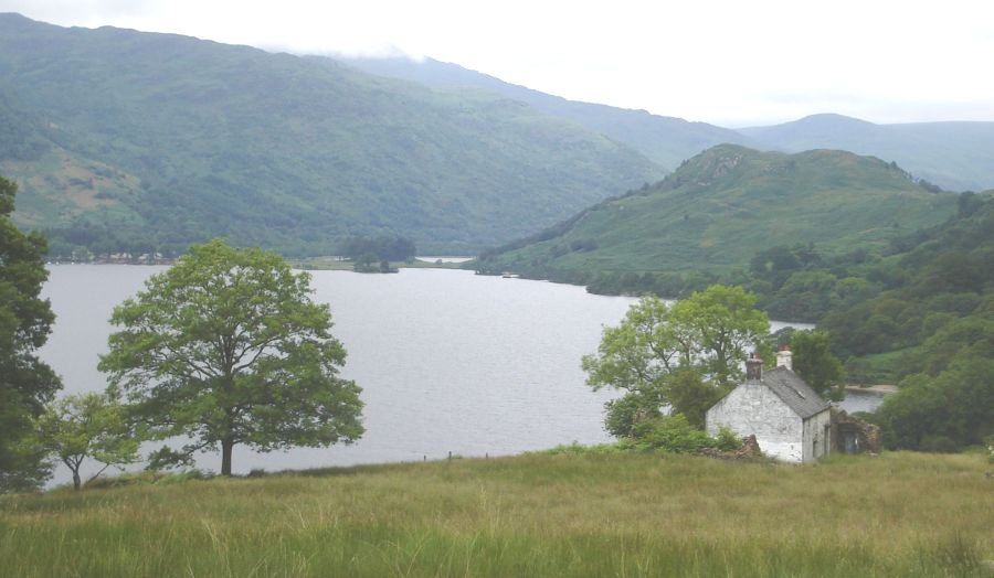 |
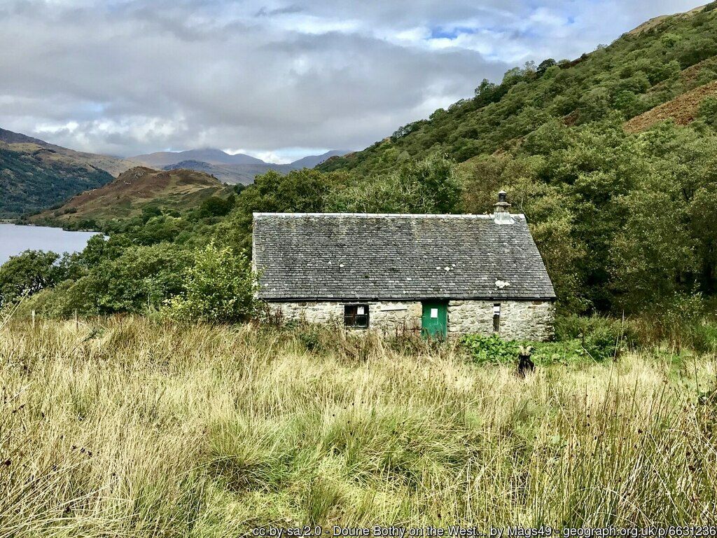
 Bothy
at Doune on Loch Lomond
|
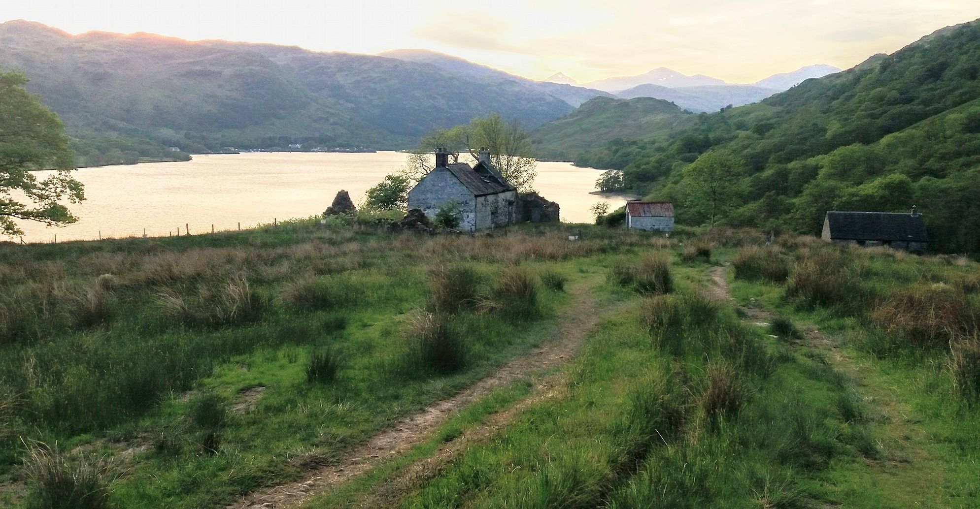
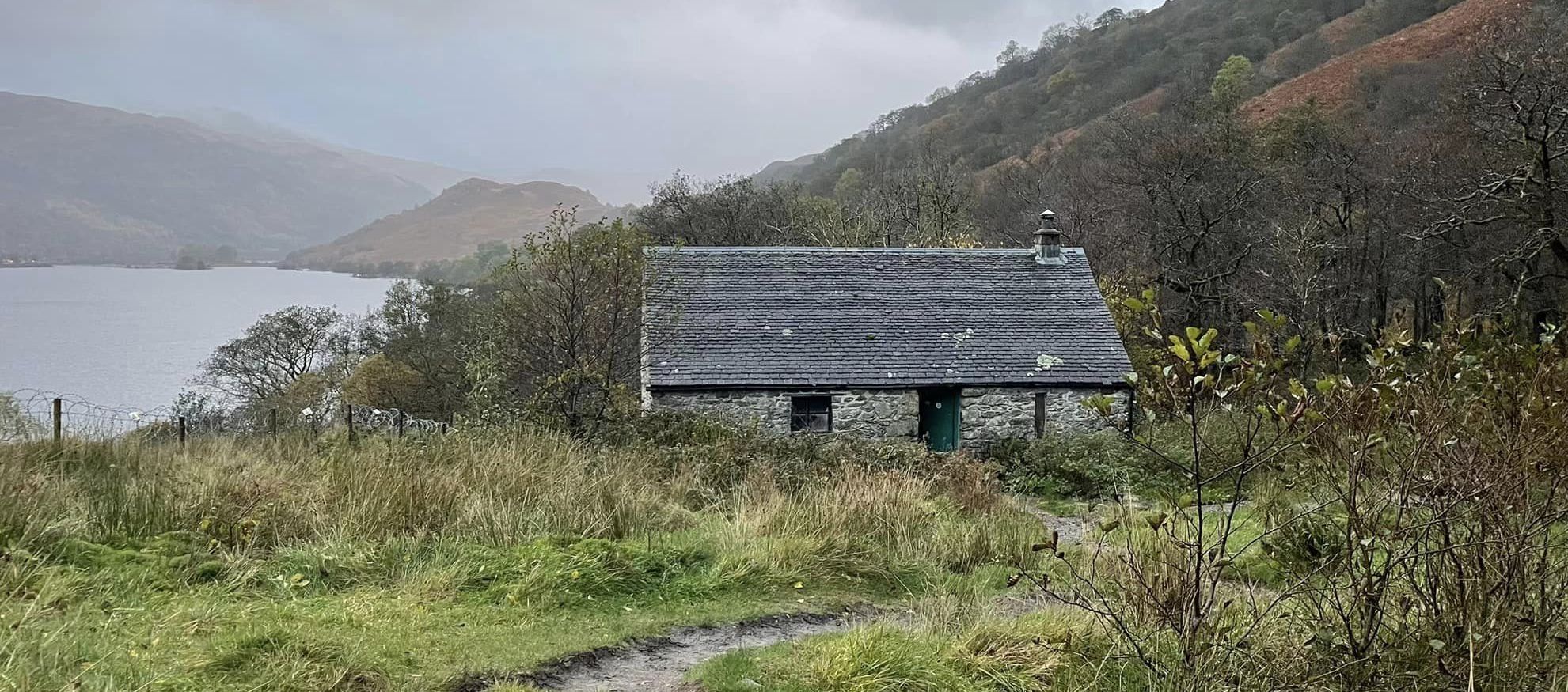
 Bothy
at Doune on Loch Lomond
|
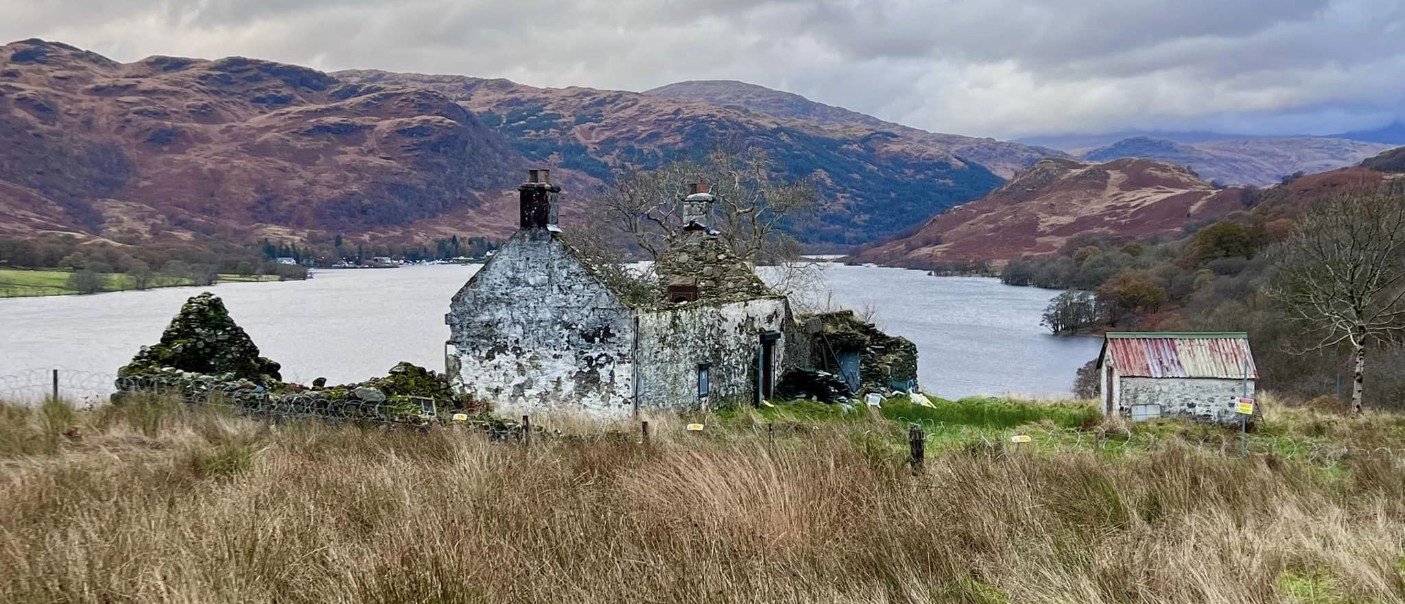
 Bothy
at Doune on Loch Lomond
|
 Bothy
at Doune on Loch Lomond
|
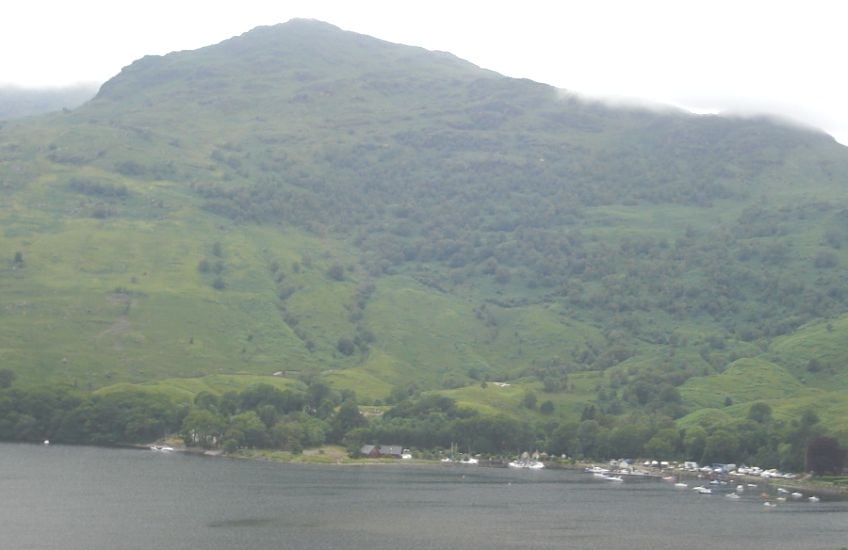
 Loch Lomond on
route to Beinglas
|
 Ardlui
on western bank of Loch Lomond
on approach to Beinglas There is an on-demand, passenger ferry at Ardlui to cross to/from the eastern shore of Loch Lomond. |
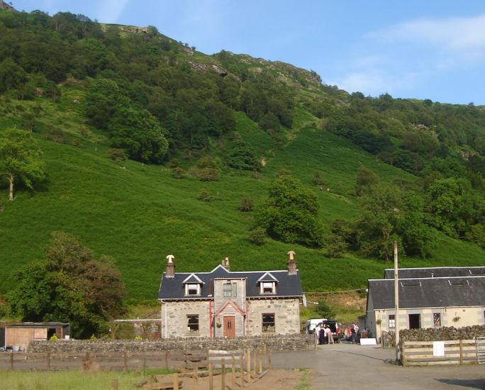 Farmhouse
at Beinglas
|
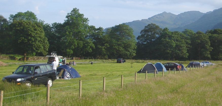 Campsite
at Beinglas
|
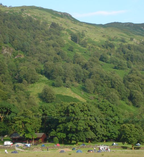 Campsite
at Beinglas
|
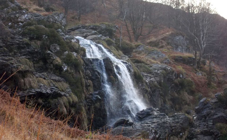 |
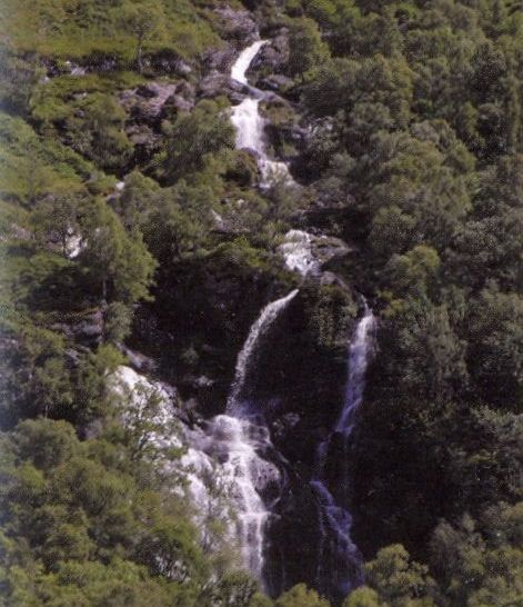 Eagle
Falls
above Beinglas
on ascent of the Corbett Meall an Fhudair |
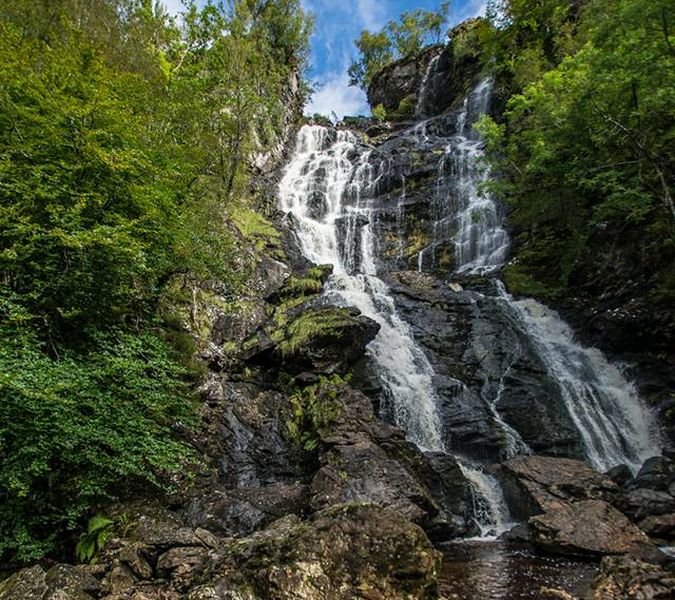 Falls on
Beinglas Burn
|
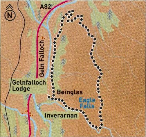 Route
Map for
Eagle Falls
above Beinglas |
EAGLE FALLS - ROUTE DESCRIPTION:
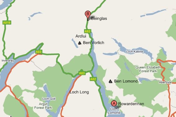 Location
Map for Beinglas
|
 Route
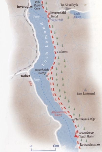
Map for Rowerdennan to Inversnaid
|
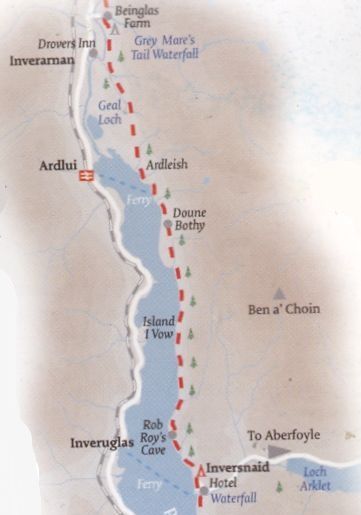 Route
Map from Inversnaid to
Beinglas
|
Glencoe | Ben Nevis | Knoydart | Isle of Skye | Isle of Arran
The Eastern Highlands | The Central Highlands | The Southern Highlands | The NW Highlands