|
City of GlasgowBaron's Haugh
|
  |
| |
City of GlasgowBaron's Haugh
|
|
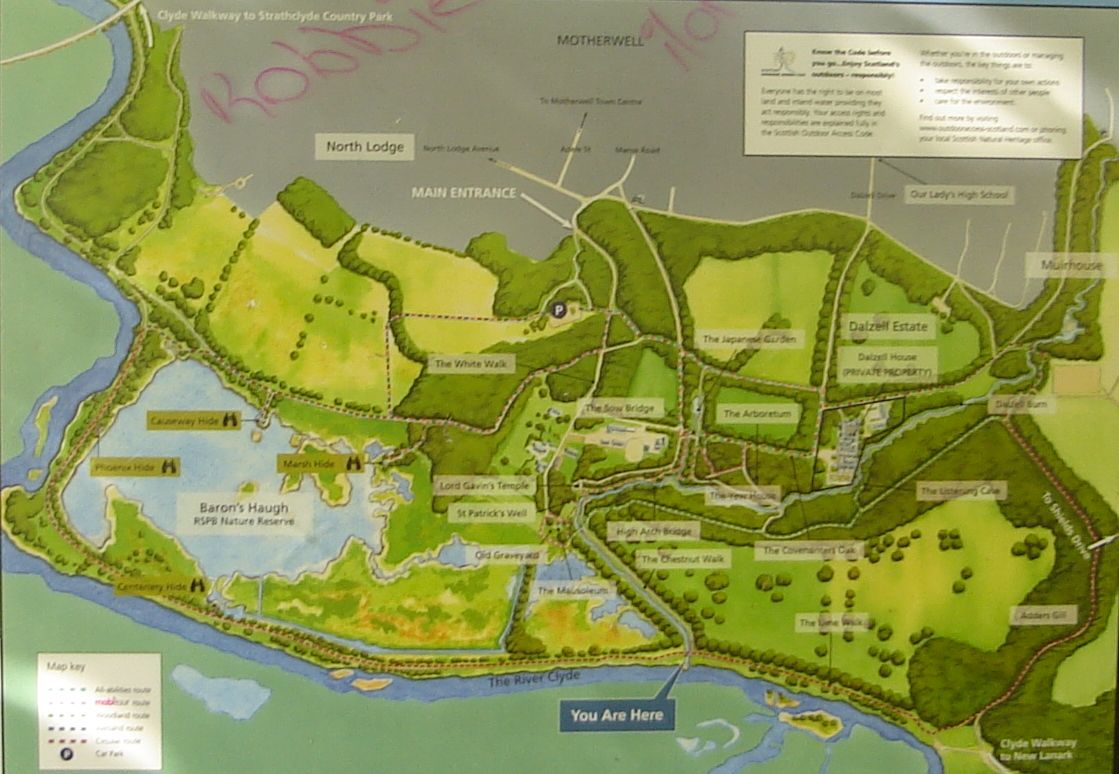 Map
of Baron's Haugh Nature Reserve
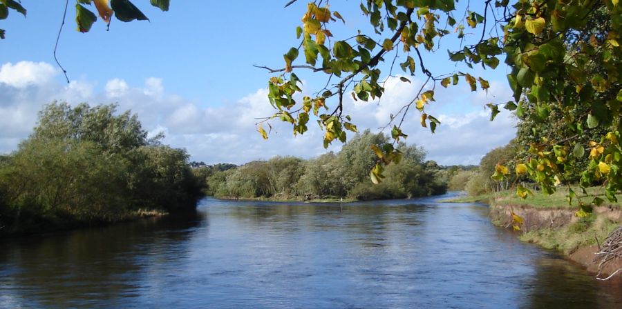
( Click here or on Map for large format version ) The Reserve is in Lanarkshire in central Scotland between the towns of Hamilton and Motherwell. The extensive reserve is adjacent to the River Clyde and is readily accessed via the Clyde Walkway from Strathclyde Country Park. The Clyde River Walkway runs along the southern edge of the reserve. The woodlands and wetlands of the reserve are home to a wide array of birds and other wildlife. The reserve is managed by North Lanarkshire Council and the RSPB of Scotland. |
 |
 |
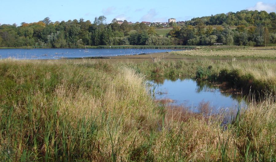 Wetlands
in Baron's Haugh Nature Reserve |
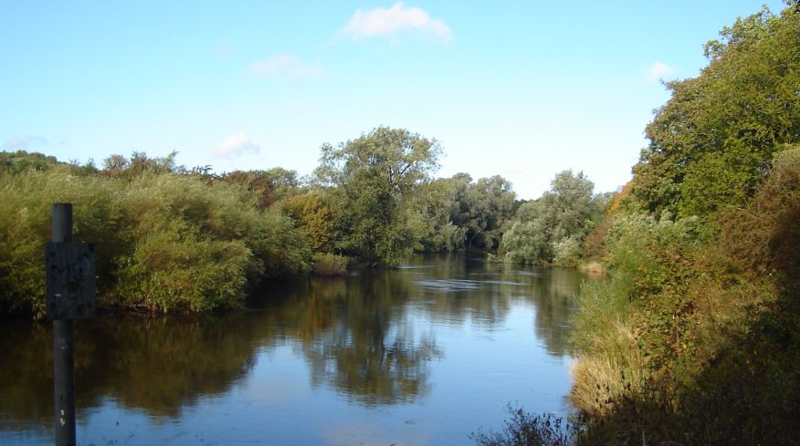
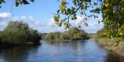
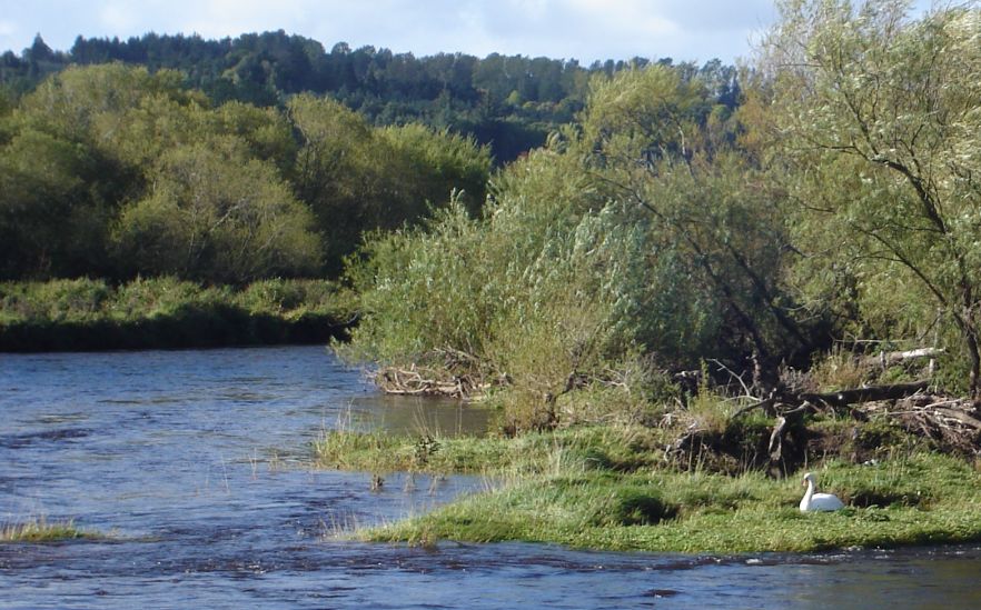 River Clyde
at Baron's Haugh Nature Reserve |
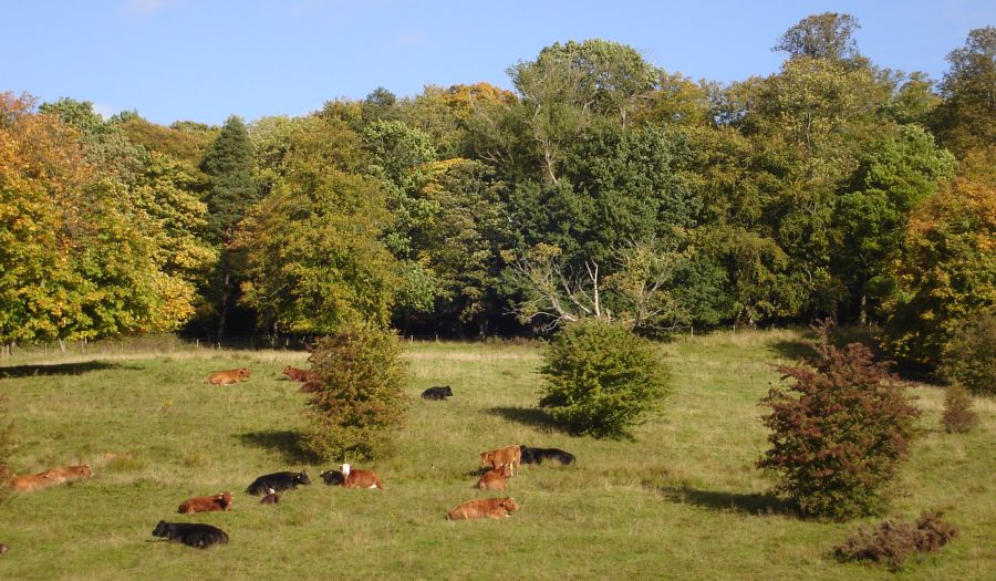 Cattle
in Baron's Haugh
Nature Reserve
|
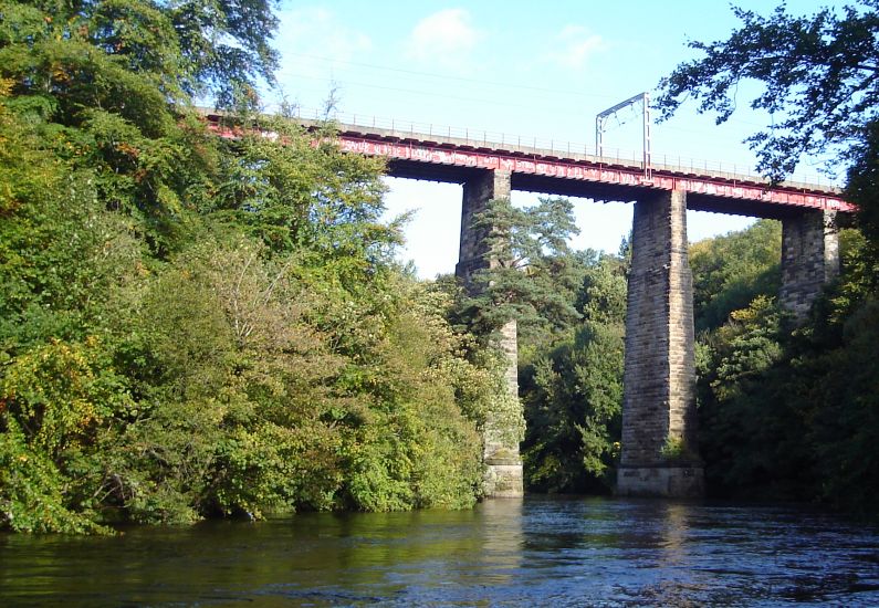
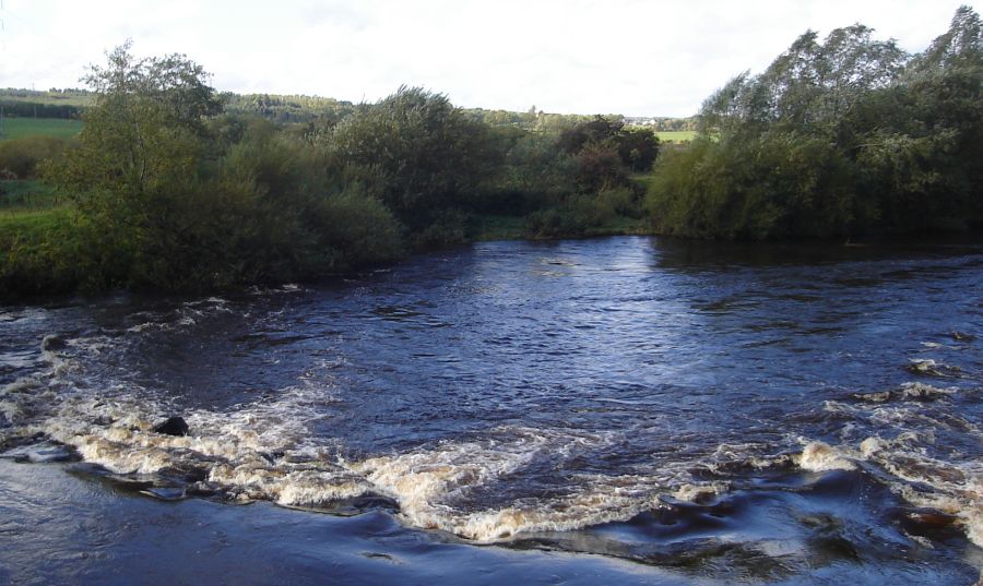 Rapids
in River Clyde
at Baron's Haugh Nature Reserve |
 The Clyde River Walkway
continues from Baron's Haugh to New Lanark and the Falls of Clyde |
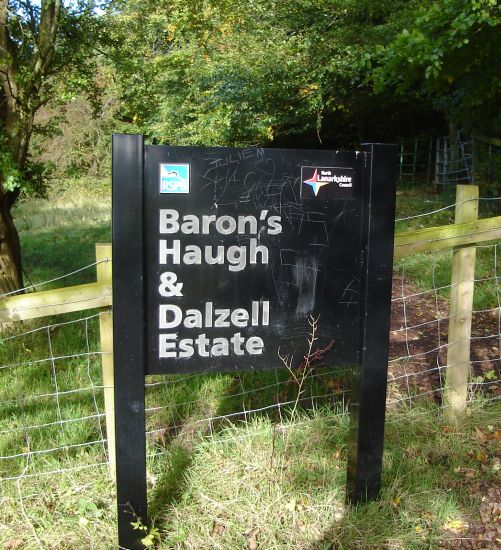 Signpost
at entrance to Baron's Haugh & Dalzell Estate |
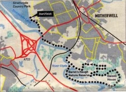 Route
Map for
Baron's
Haugh & Dalzell Estate
|
BARON'S HAUGH & DALZELL ESTATE - ROUTE DESCRIPTION:
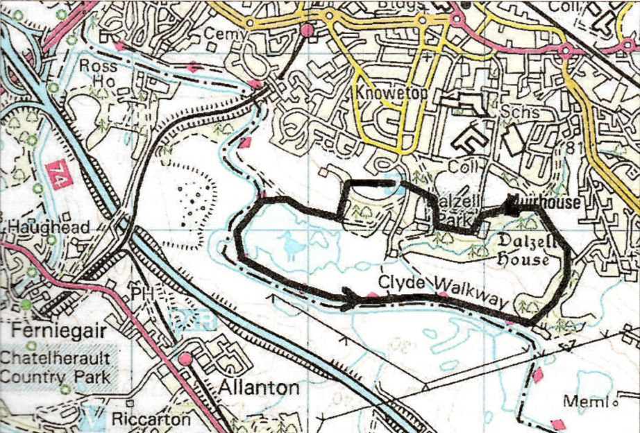 Baron's
Haugh Route Map
|
BARON'S HAUGH & DALZELL ESTATE - ROUTE DESCRIPTION 2:
 :: Falls of
Clyde Gallery
:: Falls of
Clyde Gallery  ::
Clyde River
Walkway
::
Clyde River
Walkway 
Glencoe | Ben Nevis | Knoydart | Isle of Skye | Isle of Arran | The West Highland Way
The Eastern Highlands | The Central Highlands | The Southern Highlands | The NW Highlands